
Tutela del patrimonio culturale e monitoraggio dei vulcani in Italia
Le attività di NHAZCA nell’ambito del programma spaziale europeo IRIDE
Abstract
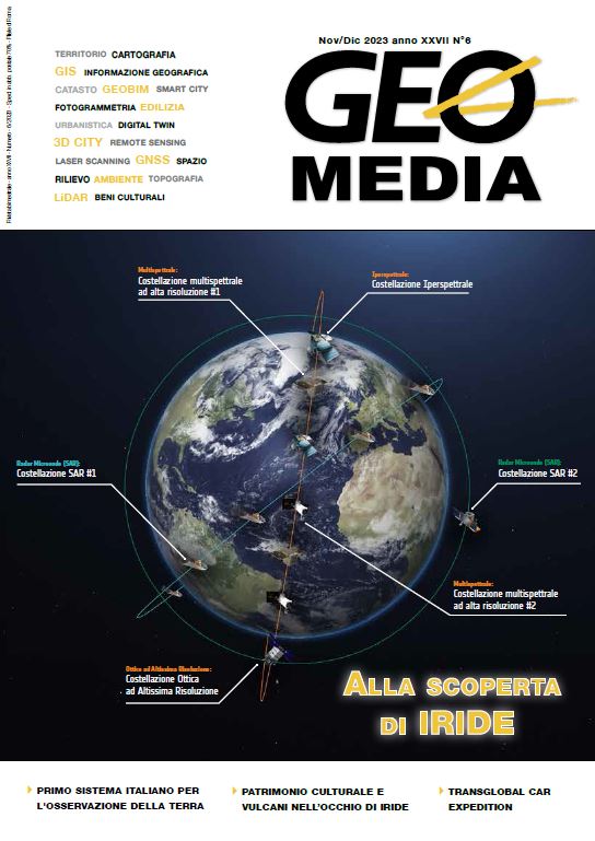
IRIDE represents one of the most relevant European space programs in the field of Earth observation. Its implementation will take place in Italy on the initiative of the Government, thanks to the resources of the National Recovery and Resilience Plan (PNRR) integrated by the funds of the National Complementary Plan (PNC). In this context, the commitment of NHAZCA S.r.l. is focused on the protection of the national cultural heritage and on the monitoring of Italian volcanoes. To this purpose, the service aims to improve the understanding of the ground displacement processes that affect volcanic areas and which can have direct effects on our cultural heritage, using high resolution SAR (Synthetic Aperture Radar) data, acquired from the
constellations Sentinel-1 (ESA), COSMO-SkyMed (ASI) and SAOCOM (CONAE - Comisión Nacional de Actividades Espaciales), and applying to them an Advanced SAR Differential Interferometry (A-DInSAR) technique. Therefore, starting from the deformation maps and time series obtained, the next step involves providing some tools that help the End-User in understanding and interpreting the data; these will involve the generation of specific geospatial products, which will consist of spatiotemporal anomaly maps, differential deformation maps and other useful statistical information.
Riferimenti bibliografici
Trigila, A., Iadanza, C., Spizzichino, D., 2010. Quality assessment of the Italian Landslide Inventory using GIS processing. Landslides 7, 455–470. https://doi.org/10.1007/s10346-010-0213-0.
ISPRA, 2018. Landslides and floods in Italy: hazard and risk indicators - Summary Report 2018. Technical report. The Institute for Environmental Protection and Research, Via Vitaliano Brancati, 48 - 00144 Rome, Italy.
URL: http:// www.isprambiente.gov.it.287/bis/2018.
Classificazione sismica dei comuni italiani al 2012 (http://wms.pcn.minambiente.it/ogc?map=/ms_ogc/
WMS_v1.3/Vettoriali/Classificazione_sismica_2012. map).
Mosaicatura nazionale ISPRA (Elaborazione v. 5.0 – 2020) delle aree a pericolosità idraulica redatte dalle
Autorità di Bacino Distrettuali sui 3 scenari definiti dal D. Lgs. 49/2010 (recepimento della Direttiva Alluvioni
/60/CE).
Trigila & Iadanza, 2016 Indicatore sulle valanghe in Italia, ISPRA, Luglio 2016.
Ferretti, A.; Prati, C.; Rocca, F. Permanent scatterers in SAR interferometry. IEEE Trans. Geosci. Remote Sens.
, 39, 8–20.
Pratesi, Fabio, et al. "Rating health and stability of engineering structures via classification indexes of InSAR
Persistent Scatterers." International Journal of Applied Earth Observation and Geoinformation 40 (2015): 81-
.
Bozzano, Francesca, et al. "Satellite A-DInSAR monitoring of the Vittoriano monument (Rome, Italy): implications for heritage preservation." Italian journal of engineering geology and environment 2 (2020): 5-17.
Dowloads
Pubblicato
Fascicolo
Sezione
Licenza

Questo volume è pubblicato con la licenza Creative Commons Attribuzione - Non commerciale - Condividi allo stesso modo 4.0 Internazionale.
Gli autori che pubblicano su questa rivista accettano le seguenti condizioni:- Gli autori mantengono i diritti sulla loro opera e cedono alla rivista il diritto di prima pubblicazione dell'opera, contemporaneamente licenziata sotto una Licenza Creative Commons - Attribuzione che permette ad altri di condividere l'opera indicando la paternità intellettuale e la prima pubblicazione su questa rivista.
- Gli autori possono aderire ad altri accordi di licenza non esclusiva per la distribuzione della versione dell'opera pubblicata (es. depositarla in un archivio istituzionale o pubblicarla in una monografia), a patto di indicare che la prima pubblicazione è avvenuta su questa rivista.
- Gli autori possono diffondere la loro opera online (es. in repository istituzionali o nel loro sito web) prima e durante il processo di submission, poiché può portare a scambi produttivi e aumentare le citazioni dell'opera pubblicata (Vedi The Effect of Open Access).

