
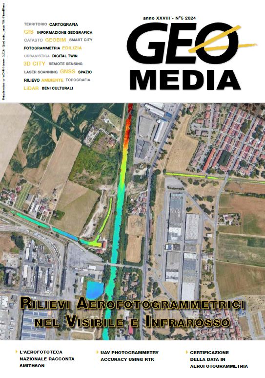
Rilievo aereo iperspettrale nel visibile e infrarosso: un nuovo occhio sulle città
Parole chiave:
telerilevamento, rilievo iperspettrale, immagini iperspettrali, monitoraggio, gestione territorio, visibile, mappe, indici, classificazione oggetti, verde urbanoAbstract
Remote sensing allows to monitor cities
in a unique way and to acquire valuable
data and information on the metric,
biological and environmental characteristics
of the soil and urban objects in a
non-invasive way, to support the monitoring
and management of the territory.
Remote sensing is based on the use of
images acquired by sensors mounted on
satellites, aircraft or drones to capture
the electromagnetic radiation reflected
or emitted by the surfaces of objects in
different parts of the spectrum.
##submission.downloads##
Pubblicato
2025-03-26
Come citare
Poli, D., Ceola, G., & Hafiz, A. imran. (2025). Rilievo aereo iperspettrale nel visibile e infrarosso: un nuovo occhio sulle città. GEOmedia, 28(5). Recuperato da https://mediageo.it/ojs/index.php/GEOmedia/article/view/2048
Fascicolo
Sezione
FOCUS
Licenza

Questo lavoro è fornito con la licenza Creative Commons Attribuzione - Non commerciale - Condividi allo stesso modo 4.0 Internazionale.
Gli autori che pubblicano su questa rivista accettano le seguenti condizioni:- Gli autori mantengono i diritti sulla loro opera e cedono alla rivista il diritto di prima pubblicazione dell'opera, contemporaneamente licenziata sotto una Licenza Creative Commons - Attribuzione che permette ad altri di condividere l'opera indicando la paternità intellettuale e la prima pubblicazione su questa rivista.
- Gli autori possono aderire ad altri accordi di licenza non esclusiva per la distribuzione della versione dell'opera pubblicata (es. depositarla in un archivio istituzionale o pubblicarla in una monografia), a patto di indicare che la prima pubblicazione è avvenuta su questa rivista.
- Gli autori possono diffondere la loro opera online (es. in repository istituzionali o nel loro sito web) prima e durante il processo di submission, poiché può portare a scambi produttivi e aumentare le citazioni dell'opera pubblicata (Vedi The Effect of Open Access).

