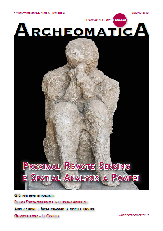
Proximal Remote Sensing e Spatial Analysis per la Conservazione delle Pitture Parietali Pompeiane. il Caso del Gymnasium
DOI:
https://doi.org/10.48258/arc.v10i2.1646Parole chiave:
Conservazione, analisi spaziali, proximal remote sensing, structure-from-motion, Termografia multitemporale, GPRAbstract
The paper presents a combination of geophysics technologies and spatial analysis methods for the analysis of an improper geographical space: the frescoe of the east wall at the Gymnasium (Pompei). This allows to construct a decay map and to quantify decay patterns found as a first step for restauration, protection and mitigation of the risk that involves the frescoe.
Riferimenti bibliografici
Data: A Systematic Approach. Springer-Verlag New York, Inc.,Avdelidis N.P.,
Moropoulou A. (2004) "Applications of infrared thermography for the investigationof
historic structures”. Journal of Cultural Heritage 5 (2004) 119–127.
Danese M., Sileo M., Masini N.(2018) Geophysical Methods and Spatial Information
for the Analysis of Decaying Frescoes. Survey in Geophysics
(6),1149-1166.
Danese M., Demšar U., Masini N., Charlton M.(2010). Investigating material
decay of historic building using Visual Analytics with multi-temporal infrared
thermographic data. Archaeometry, 52 (3), 482–501
De Mers M.N. (2002) - GIS Modeling in raster. USA, p. 55.
Getis, A., Ord, J. K. (1992) - The analysis of spatial association by use of
distance statistics. Geographical Analysis, 24, 189-206.
Kohonen T (1997) Self-organizing maps. 3rd edition edn. Springer, Berlin.
Koloski Ostrow A (1990) The Sarno Bath Complex Roma : "L'Erma" di Bretschneider,
Lasaponara R., Masini N. (Eds) 2008, Advances in Remote Sensing for Archaeology
and Cultural Heritage Management, Proc. of I International EARSeL Workshop
"Advances in Remote Sensing for Archaeology and Cultural Heritage
Management”, Aracne, Roma, ISBN: 978-88-548-2030-2
MacEachren AM, Kraak M-J (2001) Research Challenges in Geovisualization
Cartography and Geographic Information Science 28:3-12
doi:10.1559/152304001782173970.
Masini N., Persico R., Rizzo E. et al. 2010, Integrated Techniques for Analysis
and Monitoring of Historical Monuments: the case of S. Giovanni al Sepolcro
in Brindisi (Southern Italy), Near Surface Geophysics, 8(5), 423-432,
doi:10.3997/1873-0604.2010012
Masini N., Nuzzo L., Rizzo E.(2007) GPR investigations for the study and the
restoration of the Rose Window of Troia Cathedral (Southern Italy), Near Surface
Geophysics, 5(5), 287-300, doi:10.3997/1873-0604.2007010
Masini N., Sileo M., Leucci G., et al.(2017) Integrated In Situ Investigations
for the Restoration: The Case of Regio VIII in Pompeii, in: N. Masini, F. Soldovieri
(eds) Sensing the Past. Geotechnologies and the Environment”, vol. 16,
Springer,557-586.
Masini N., Capozzoli L., Chen P., Chen F., Romano G., Lu P., Tang P., Sileo M.,
Ge Q., Lasaponara R. (2017). Towards an operational use of geophysics for
Archaeology in Henan (China): Archaeogeophysical investigations, approach
and results in Kaifeng. Remote Sensing 9 (8), 809, doi: 10.3390/rs9080809
Nolè G., Danese M., Murgante B., Lasaponara R., Lanorte A. 2012 Using spatial
autocorrelation techniques and multi-temporal satellite data for analyzing
urban sprawl. International Conference on Computational Science and Its Applications
-527 Springer, Berlin, Heidelberg
Tomlin C.D. (1990) - Geographic Information Systems and Cartographic Modeling.
Englewood Cliffs, New Jersey: Prentice Hall.
Dowloads
Pubblicato
Fascicolo
Sezione
Licenza
Gli autori che pubblicano su questa rivista accettano le seguenti condizioni:- Gli autori mantengono i diritti sulla loro opera e cedono alla rivista il diritto di prima pubblicazione dell'opera, contemporaneamente licenziata sotto una Licenza Creative Commons - Attribuzione che permette ad altri di condividere l'opera indicando la paternità intellettuale e la prima pubblicazione su questa rivista.
- Gli autori possono aderire ad altri accordi di licenza non esclusiva per la distribuzione della versione dell'opera pubblicata (es. depositarla in un archivio istituzionale o pubblicarla in una monografia), a patto di indicare che la prima pubblicazione è avvenuta su questa rivista.
- Gli autori possono diffondere la loro opera online (es. in repository istituzionali o nel loro sito web) prima e durante il processo di submission, poiché può portare a scambi produttivi e aumentare le citazioni dell'opera pubblicata (Vedi The Effect of Open Access).


