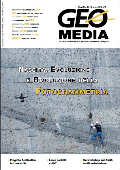
Strumenti e applicazioni con laser portatili I casi di FARO e GeoSLAM
Parole chiave:
Laser scanner, AACMM, SLAMAbstract
Portability, flexibility and speed are some of the technical features that distinguish the measuring instruments to scan and that they may allow to the operator to respond to requests for acquisition and processing of data effectively and
economically. In this case study are presented cases of the instruments FARO and of the young GeoSLAM.
Riferimenti bibliografici
Bosse M., Zlot R., Flick P., 2012, Zebedee: Design of a Spring-Mounted 3-D Range Sensor with Application to Mobile Mapping, IEEE Transactions on Robotics, vol.28(5), pp.1104-1119
Chiabrando F., Spanò A., 2013, Points clouds generation using TLS and dense-matching techniques. A test on approachable accuracies of different tools, in: XXIV International CIPA Symposium, Strasbourg, 2–6 September 2013. pp. 67-72
Thomson C., Apostolopoulos G., Backes D., Boehm J., 2013, Mobile Laser Scanning fort indoor modelling, in: ISPRS Annals of the Photogrammetry, Remote Sensing and Spatial Information Sciences, Volume II-5/W2
Sacerdote F., Tucci G. 2007, Sistemi a scansione per l'architettura e il territorio, Alinea Editrice, Impruneta (Fi)
Bornaz L., 2006, Principi di funzionamento e tecniche di acquisizione, in: F. Crosilla, S. Dequal (eds.), Laser scanning terrestre, Atti del corso "La tecnica del laser scanning terrestre” (Udine 2004), Udine, CISM, 1-18
##submission.downloads##
Pubblicato
Come citare
Fascicolo
Sezione
Licenza
Gli autori che pubblicano su questa rivista accettano le seguenti condizioni:- Gli autori mantengono i diritti sulla loro opera e cedono alla rivista il diritto di prima pubblicazione dell'opera, contemporaneamente licenziata sotto una Licenza Creative Commons - Attribuzione che permette ad altri di condividere l'opera indicando la paternità intellettuale e la prima pubblicazione su questa rivista.
- Gli autori possono aderire ad altri accordi di licenza non esclusiva per la distribuzione della versione dell'opera pubblicata (es. depositarla in un archivio istituzionale o pubblicarla in una monografia), a patto di indicare che la prima pubblicazione è avvenuta su questa rivista.
- Gli autori possono diffondere la loro opera online (es. in repository istituzionali o nel loro sito web) prima e durante il processo di submission, poiché può portare a scambi produttivi e aumentare le citazioni dell'opera pubblicata (Vedi The Effect of Open Access).


