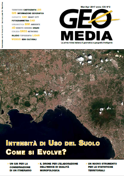
L'intensità dell'uso del suolo e la sua evoluzione attraverso i dati statistici: metodologie per un'analisi diacronica
Keywords:
Sezioni di Censimento, cambiamenti uso del suolo, densità di popolazioneAbstract
In the hypothesis of wanting to economize the consumption of land, applying
to this aim a reasoning based on the exhaustibility of this resource,
it is appropriate that it increases the intensity of use within the limits of the
achievement of carrying capabilities (load capacity), which the portion of
territory can support. The informative heritage offered by Istat is certainly
valuable, as in the division of the territory into sections of Census is able
to show changes in land use nationally. In fact, the allocation of variables
detected in the various censuses, in reference to the minimum territorial
unit, are able to qualify with measurable data concepts of urban areas rather
than industrial or rural. In this respect, ISTAT classifies Census sections
in four types which can be considered a great many broad categories
of land use. In particular, this study proposes an analysis of the changes
shown by the location of the town, which corresponds a higher population
density. The methodology used by ISTAT for the demarcation of the
resort towns starts from the observation of aerial photos, identifying areas
containing buildings which are separated by a distance not exceeding 70
meters. Among the different types of evolution that occurred in residential
areas, some are attributable exclusively to the improvement of the resolution
of the material, so will be assessed properly the "convoluted" from the
center of town to the other "lower-ranking". By overlapping sections used
in censuses from 1991 to 2011, we obtain the expansion of urban previous
polygons, which are attributed to the socio-demographic characteristics
found in this survey. This procedure must be carefully evaluated before
making the various comparisons, in order to avoid possible errors. In this
preliminary study, we present some rough calculations, and critical cases
that are going to develop in later works.
References
Abbate C., & Salvucci, G. "Population density in a city”. Spatial2
Conference: Spatial Data Methods for Environmental and Ecological
Processes. Foggia (IT), 1-2 September 2011. on line., 2011.
Cruciani, S. "Le basi territoriali. Concetti, definizioni, prodotti
per i censimenti, oltre i censimenti”. L'informazione statistica
per la conoscenza del territorio e il supporto alle decisioni. Istat.,
Retrieved from http://www.istat.it/it/archivio/9986
Istat. (a). "http://basiterritoriali.istat.it”, 2009. Retrieved from
http://basiterritoriali.istat.it
Istat. (b). Navigando tra le fonti demografiche e sociali. (Istat,
Ed.)., 2009.
López, E., Bocco, G., Mendoza, M., & Duhau, E. "Predicting
land-cover and land-use change in the urban fringe”. Landscape
and Urban Planning, 55(4), 271–285., 2001. doi:10.1016/S0169-
(01)00160-8
Minca, C. Introduzione alla geografia postmoderna. CEDAM.,
Downloads
Published
How to Cite
Issue
Section
License
Gli autori che pubblicano su questa rivista accettano le seguenti condizioni:- Gli autori mantengono i diritti sulla loro opera e cedono alla rivista il diritto di prima pubblicazione dell'opera, contemporaneamente licenziata sotto una Licenza Creative Commons - Attribuzione che permette ad altri di condividere l'opera indicando la paternità intellettuale e la prima pubblicazione su questa rivista.
- Gli autori possono aderire ad altri accordi di licenza non esclusiva per la distribuzione della versione dell'opera pubblicata (es. depositarla in un archivio istituzionale o pubblicarla in una monografia), a patto di indicare che la prima pubblicazione è avvenuta su questa rivista.
- Gli autori possono diffondere la loro opera online (es. in repository istituzionali o nel loro sito web) prima e durante il processo di submission, poiché può portare a scambi produttivi e aumentare le citazioni dell'opera pubblicata (Vedi The Effect of Open Access).


