
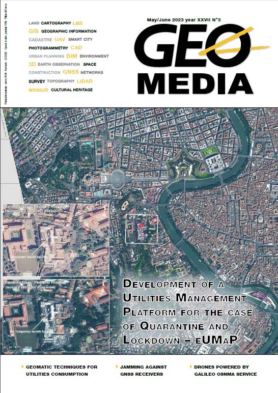
Geomatic techniques for utilities consumption analysis in urban areas during emergency periods
DOI:
https://doi.org/10.48258.4Keywords:
uav, photogrammetry, remote sensing, change detection, covid-19, eumap, superview-iAbstract
This paper has the main purpose of proposing a methodology to understand the occupation of parking spots by using the synergy of different geomatic techniques. Aerial, satellites, and UAV data are studied through the OBIA to analyse, by change detection, the main differences pre-, during and post-lockdown due to Covid-19.
The first results are really promising and pave the ground for a future automation of the proposed procedure. The results can be also integrated in BIM and GIS to help the management of utilities consumption in emergency periods, and they create a dataset to enhance and increase consumption efficiency in residential areas.
References
Alicandro, M., Dominici, D., Pascucci, N., Quaresima, R., & Zollini, S. (2023). Enhanced Algorithms to Extract Decay Forms of Concrete Infrastructures from Uav Photogrammetric Data. The International Archives of the Photogrammetry, Remote Sensing and Spatial Information Sciences, 48, 9-15.
Blaschke, T. (2010). Object based image analysis for remote sensing. ISPRS J. Photogramm. Remote Sens. 65, 2-16. https://doi.org/10.1016/j.
isprsjprs.2009.06.004
Boston, G. (2014). Upper Town or Ano Poli: Historical Thessaloniki https://www.greekboston.com/travel/ano-poli-thessaloniki/ (Accessed 9-11-23).
Chen, X., Shen, X., Cao, L. (2023). Tree Species Classification in Subtropical Natural Forests Using High-Resolution UAV RGB and SuperView-1
Multispectral Imageries Based on Deep Learning Network Approaches: A Case Study within the Baima Snow Mountain National Nature Reserve, China.
Remote Sens. 15, 2697. https://doi.org/10.3390/rs15102697 European Space Agency. (2016). GaoJing / SuperView Earth Observation Constellation - eoPortal https://www.eoportal.org/satellite-missions/gaojing#Gaojing-Superview.html.1 (Accessed 9-11-23).
Froidevaux, A., Julier, A., Lifschitz, A., Pham, M. T., Dambreville, R., Lefèvre, S., ... & Huynh, T. L. (2020, September). Vehicle detection and counting
from VHR satellite images: Efforts and open issues. In IGARSS 2020-2020 IEEE International Geoscience and Remote Sensing Symposium (pp. 256-
. IEEE.
Khryaschev, V., Ivanovsky, L. (2019). Urban areas analysis using satellite image segmentation and deep neural network. E3S Web Conf. 135, 01064. https://doi.org/10.1051/e3sconf/201913501064
Li, D., Wang, M., Jiang, J. (2021). China’s high-resolution optical remote sensing satellites and their mapping applications. Geo-Spat. Inf. Sci. 24, 85-94. https://doi.org/10.1080/10095020.2020.1838957
Prokopyeva, K.O. (2022). The Use of Multi-Temporal High-Resolution Satellite Images to Soil Salinity Assessment of the Solonetzic Complex
(Republic of Kalmykia). Arid Ecosyst. 12, 394-406. https://doi.org/10.1134/S2079096122040163
Sun, W., Chen, B., Messinger, D. (2014). Nearest-neighbor diffusion-based pan-sharpening algorithm for spectral images. Opt. Eng. 53, 013107. https://doi.org/10.1117/1.OE.53.1.013107
Teodoro, A.C., Araujo, R. (2016). Comparison of performance of object based image analysis techniques available in open source software (Spring and Orfeo Toolbox/Monteverdi) considering very high spatial resolution data. J. Appl. Remote Sens. 10, 016011. https://doi.org/10.1117/1.JRS.10.016011
Xia, W., Chen, J., Liu, J., Ma, C., Liu, W. (2021). Landslide Extraction from High-Resolution Remote Sensing Imagery Using Fully Convolutional
Spectral–Topographic Fusion Network. Remote Sens. 13, 5116. https://doi.org/10.3390/rs13245116
Zollini, S., Alicandro, M., Dominici, D., Quaresima, R., Giallonardo, M. (2020). UAV Photogrammetry for Concrete Bridge Inspection Using Object-Based Image Analysis (OBIA). Remote Sens. 12, 3180. https://doi.org/10.3390/rs12193180
Downloads
Published
How to Cite
Issue
Section
License

This work is licensed under a Creative Commons Attribution-NonCommercial-ShareAlike 4.0 International License.
Gli autori che pubblicano su questa rivista accettano le seguenti condizioni:- Gli autori mantengono i diritti sulla loro opera e cedono alla rivista il diritto di prima pubblicazione dell'opera, contemporaneamente licenziata sotto una Licenza Creative Commons - Attribuzione che permette ad altri di condividere l'opera indicando la paternità intellettuale e la prima pubblicazione su questa rivista.
- Gli autori possono aderire ad altri accordi di licenza non esclusiva per la distribuzione della versione dell'opera pubblicata (es. depositarla in un archivio istituzionale o pubblicarla in una monografia), a patto di indicare che la prima pubblicazione è avvenuta su questa rivista.
- Gli autori possono diffondere la loro opera online (es. in repository istituzionali o nel loro sito web) prima e durante il processo di submission, poiché può portare a scambi produttivi e aumentare le citazioni dell'opera pubblicata (Vedi The Effect of Open Access).

