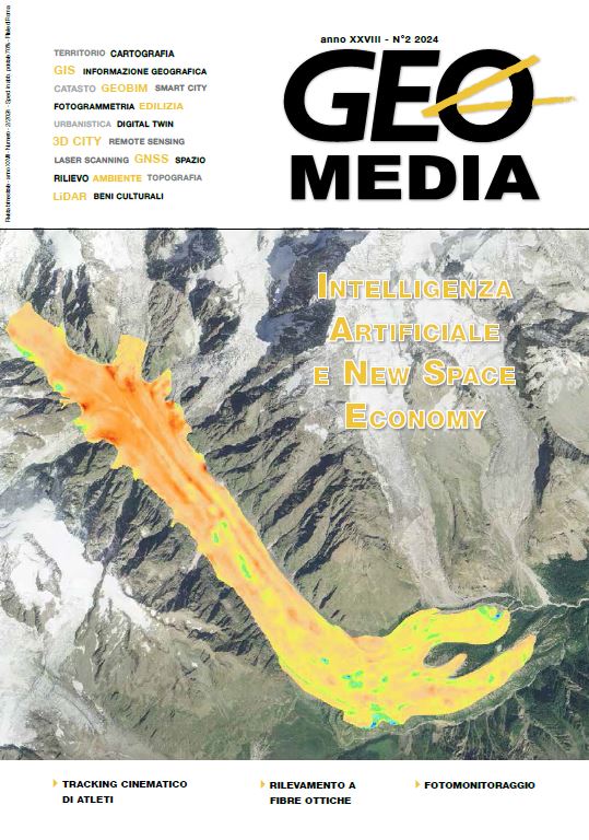
PhotoMonitoring: la fotografia digitale come strumento di monitoraggio
Keywords:
fotomonitoraggio, monitoraggio strutturale, monitoraggio geotecnico, piattaforme fisse, piattaforme mobili, droni, satelliti, aereiAbstract
Just under five years ago it seemed impossible to be able to use
a simple and already widespread camera as a reliable monitoring
tool for a design engineer. Today, thanks to the giant strides
made by technology and IT evolution, this is no longer the case
and what once seemed like science fiction is now reality, thanks
to the innovative Photomonitoring technique. But how can
you obtain reliable information through two simple images?
This article illustrates the general principles of Photomonitoring
and the main applicability criteria of this method, also
through successful application examples.
Downloads
Published
2024-10-17
How to Cite
Cosentino, A., Brunetti, A., & Mazzanti, P. (2024). PhotoMonitoring: la fotografia digitale come strumento di monitoraggio. GEOmedia, 28(2). Retrieved from https://mediageo.it/ojs/index.php/GEOmedia/article/view/2009
Issue
Section
REPORT
License

This work is licensed under a Creative Commons Attribution-NonCommercial-ShareAlike 4.0 International License.
Gli autori che pubblicano su questa rivista accettano le seguenti condizioni:- Gli autori mantengono i diritti sulla loro opera e cedono alla rivista il diritto di prima pubblicazione dell'opera, contemporaneamente licenziata sotto una Licenza Creative Commons - Attribuzione che permette ad altri di condividere l'opera indicando la paternità intellettuale e la prima pubblicazione su questa rivista.
- Gli autori possono aderire ad altri accordi di licenza non esclusiva per la distribuzione della versione dell'opera pubblicata (es. depositarla in un archivio istituzionale o pubblicarla in una monografia), a patto di indicare che la prima pubblicazione è avvenuta su questa rivista.
- Gli autori possono diffondere la loro opera online (es. in repository istituzionali o nel loro sito web) prima e durante il processo di submission, poiché può portare a scambi produttivi e aumentare le citazioni dell'opera pubblicata (Vedi The Effect of Open Access).


