
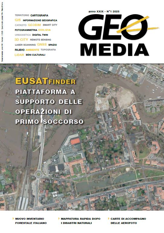
EUSATfinder EUropean Space, Aerial and Terrestrial assets supporting first responders' operations
Keywords:
emergencies, copernicus, galileo, MOC, earth observation, satcom, satnav, uav, first responder system, terrestrial networkAbstract
The purpose of the EUSATfinder is to provide an innovative integrated and scalable solution, to support decision maker actors in real-life during different operational phases (detection, preparedness, response, recovery and mitigation of emergencies) with particular focus to first responders’ activities in situ for a disaster management.
The solution is based on a mobile operational centre (MOC) able to join in the proximity of the emergency area and to deploy several assets to support the operations:
1. a quick to deploy resilient communication infrastructure;
2. a fleet of heterogenous drones for mapping (integrated with Copernicus Emergency
Management Service), for extended environmental surveillance and for people and asset
localisation;
3. innovative equipment for first responders’ health monitoring and localisation (Galileo);
4. a distributed platform for First responder operations and citizens alerting management. Galileo adding an additional layer of security against spoofing are clearly new coming valuable services supporting drones’ operations (including U-space) for these
emergency applications. Moreover, Copernicus data will be integrated with is-situ observations in the Mobile Operational Control (MOC).
Downloads
Published
How to Cite
Issue
Section
License

This work is licensed under a Creative Commons Attribution-NonCommercial-ShareAlike 4.0 International License.
Gli autori che pubblicano su questa rivista accettano le seguenti condizioni:- Gli autori mantengono i diritti sulla loro opera e cedono alla rivista il diritto di prima pubblicazione dell'opera, contemporaneamente licenziata sotto una Licenza Creative Commons - Attribuzione che permette ad altri di condividere l'opera indicando la paternità intellettuale e la prima pubblicazione su questa rivista.
- Gli autori possono aderire ad altri accordi di licenza non esclusiva per la distribuzione della versione dell'opera pubblicata (es. depositarla in un archivio istituzionale o pubblicarla in una monografia), a patto di indicare che la prima pubblicazione è avvenuta su questa rivista.
- Gli autori possono diffondere la loro opera online (es. in repository istituzionali o nel loro sito web) prima e durante il processo di submission, poiché può portare a scambi produttivi e aumentare le citazioni dell'opera pubblicata (Vedi The Effect of Open Access).

