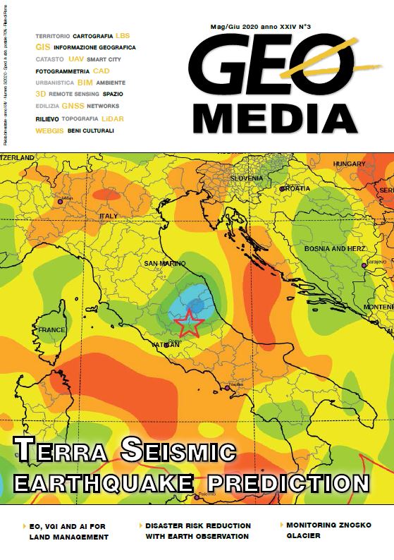
Fusing Earth Observation, Volunteered Geographic Information and Artificial Intelligence for improved Land Management
Parole chiave:
Earth observation, VGI, machine learning, deep learning, digital agriculture, land managementAbstract
The ever-growing availability of Earth Observation (EO) data is demonstrating a wide range of potential applications in the realm of land management. On the other hand, large volumes of data need to be handled and analysed to extract meaningful information and Geomatics coupled with new approaches such as Artificial Intelligence (AI) and Machine Learning (AI) will play a pivotal role in the years to come.
Training datasets need to be developed to use these new models and Volunteered Geographic Information can be one of the promising sources for EO processing. Among the various applications, agriculture may benefit from the large dataset availability and AI processing. However, several issues remain unsolved and further steps should be taken in the near future by researchers and policy makers.
Riferimenti bibliografici
Antoniou, V., & Potsiou, C. (2020). A Deep Learning Method to Accelerate the Disaster Response Process. Remote Sensing, 12(3), 544.
Euroconsult, 2019. Smallsat Market to Nearly Quadruple over Next Decade. Available at http://www.euroconsult-ec.com/5_August_2019
European Commission, 2018. Coordinated Plan on Artificial Intelligence. Available at https://eur-lex.europa.eu/legal-content/EN/TXT/?uri=COM:2018:795:FIN
Gilmer, J.; Adams, R.P.; Goodfellow, I.; Andersen, D.; Dahl, G.E. Motivating the Rules of the Game for Adversarial Example Research. arXiv 2018, ar- Xiv:1807.06732.
Hendrycks, D., Zhao, K., Basart, S., Steinhardt, J., & Song, D. 2019. Natural adversarial examples. arXiv preprint arXiv:1907.07174.
Huang, W., Xiao, L., Wei, Z., Liu, H., & Tang, S., 2015. A new pan-sharpening method with deep neural networks. IEEE Geoscience and Remote Sensing Letters, 12(5), 1037-1041.
Huang, Z., Zhang, Y., Li, Q., Li, Z., Zhang, T., Sang, N., & Xiong, S., 2019. Unidirectional variation and deep CNN denoiser priors for simultaneously destriping and denoising optical remote sensing images. International Journal of Remote Sensing, 40(15),
-5748.
Kamilaris, A., & Prenafeta-Boldú, F. X. (2018). Deep learning in agriculture: A survey. Computers and electronics in agriculture, 147, 70-90.
Liakos, K. G., Busato, P., Moshou, D., Pearson, S., & Bochtis, D. (2018). Machine learning in agriculture: A review. Sensors, 18(8), 2674.
Wegner, J.D., Roscher, R., Volpi, M. and Veronesi, F., 2018. Foreword to the Special Issue on Machine Learning for Geospatial Data Analysis.
Yang, J., Fu, X., Hu, Y., Huang, Y., Ding, X., & Paisley, J., 2017. PanNet: A deep network architecture for pansharpening. In Proceedings of the IEEE International Conference on Computer Vision (pp. 5449-5457).
##submission.downloads##
Pubblicato
Come citare
Fascicolo
Sezione
Licenza
Gli autori che pubblicano su questa rivista accettano le seguenti condizioni:- Gli autori mantengono i diritti sulla loro opera e cedono alla rivista il diritto di prima pubblicazione dell'opera, contemporaneamente licenziata sotto una Licenza Creative Commons - Attribuzione che permette ad altri di condividere l'opera indicando la paternità intellettuale e la prima pubblicazione su questa rivista.
- Gli autori possono aderire ad altri accordi di licenza non esclusiva per la distribuzione della versione dell'opera pubblicata (es. depositarla in un archivio istituzionale o pubblicarla in una monografia), a patto di indicare che la prima pubblicazione è avvenuta su questa rivista.
- Gli autori possono diffondere la loro opera online (es. in repository istituzionali o nel loro sito web) prima e durante il processo di submission, poiché può portare a scambi produttivi e aumentare le citazioni dell'opera pubblicata (Vedi The Effect of Open Access).


