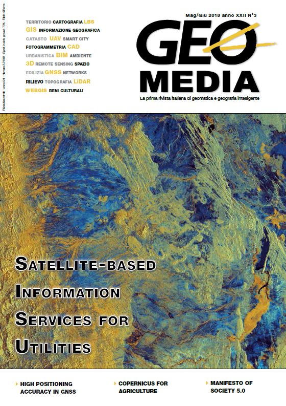
Copernicus Sentinels missions and crowdsourcing as game changers for geospatial information in agriculture
Parole chiave:
Crowdsourcing, geospatial, remote sensing, monitoring, mapping, agriculture, Copernicus sentinelsAbstract
A big leap in the agricultural sector is expected thanks to the operational deployment of Copernicus data and services, the new Earth Observation
program of the European Commission. The huge quantity of data delivered freely along with the good level of resolution (spatial, temporal and
spectral) will open up new opportunities for achieving the well-known sustainability of agriculture. At the same time, the new trends of crowdsourcing and citizen science are delivering a great deal of geographical data collected by ordinary users with a bottom-up process. The two type of data and their integration will be the base for the future application in the agricultural sector, albeit management of big geospatial dataset and quality of
user generated data are issues to be addressed.
Riferimenti bibliografici
Bordogna, G.; Kliment, K.; Frigerio, L.; Stroppiana, D.; Brivio, P.A.; Crema, A.; Boschetti, M.; Sterlacchini, S. Spatial Data
Infrastructure integrating multisource heterogeneous geospatial data and time series: A study case in agriculture. ISPRS Int. J. Geo-Inf. 2016, 5, 73.
Dehnen-Schmutz, K., Foster, G.L., Owen, L. et al. Agron. Sustain. Dev. (2016) 36: 25. https://doi.org/10.1007/s13593-016-0359-9
Goodchild, M.F. (2007). "Citizens as sensors: the world of volunteered geography". GeoJournal. 69 (4): 211–221. doi:10.1007/s10708-007-9111-y. International Organisation for Standardisation, 2013. ISO19157:2013 Geographic information -
Data quality, Geneva: ISO. Joint Research Centre, (2016). Concept Note - Towards Future Copernicus Service Components in support to Agriculture? Available at: https://ec.europa.eu/jrc/sites/jrcsh/files/Copernicus_concept_note_agriculture.pdf
Minghini, M, Antoniou, V, Fonte, C C, Estima, J, Olteanu-Raimond, A-M, See, L, Laakso, M, Skopeliti, A, Mooney, P,
Arsanjani, J J, Lupia, F. 2017. The Relevance of Protocols for VGI Collection. In: Foody, G, See, L, Fritz, S, Mooney, P,
Olteanu-Raimond, A-M, Fonte, C C and Antoniou, V. (eds.) Mapping and the Citizen Sensor. Pp. 223–247. London:
Ubiquity Press. DOI: https://doi.org/10.5334/bbf.j.
Dowloads
Pubblicato
Fascicolo
Sezione
Licenza
Gli autori che pubblicano su questa rivista accettano le seguenti condizioni:- Gli autori mantengono i diritti sulla loro opera e cedono alla rivista il diritto di prima pubblicazione dell'opera, contemporaneamente licenziata sotto una Licenza Creative Commons - Attribuzione che permette ad altri di condividere l'opera indicando la paternità intellettuale e la prima pubblicazione su questa rivista.
- Gli autori possono aderire ad altri accordi di licenza non esclusiva per la distribuzione della versione dell'opera pubblicata (es. depositarla in un archivio istituzionale o pubblicarla in una monografia), a patto di indicare che la prima pubblicazione è avvenuta su questa rivista.
- Gli autori possono diffondere la loro opera online (es. in repository istituzionali o nel loro sito web) prima e durante il processo di submission, poiché può portare a scambi produttivi e aumentare le citazioni dell'opera pubblicata (Vedi The Effect of Open Access).


