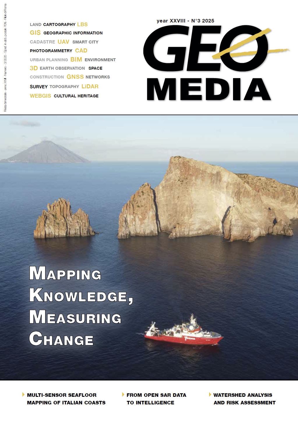
Large-scale seafloor mapping of the Italian coasts using multi-sensor surveying to characterise Posidonia oceanica and seafloor morphology in shallow waters
Parole chiave:
MER, Marine Ecosystem Restoration, seamapping, multi-sensor surveying, seagrass monitoring, machine learning classificationAbstract
The Italian Institute for Environmental Protection and Research (ISPRA) is leading a nationwide initiative to map and restore seagrass meadows under the Marine Ecosystem Restoration (MER) project. This effort addresses the alarming decline of Posidonia oceanica and Cymodocea nodosa habitats, which are critical for carbon sequestration, biodiversity, and coastal resilience. The MER project’s mapping component, executed by Fugro and Compagnia Generale Ripreseaeree (CGR), in partnership with EOMAP – a Fugro company, and PlanBlue, employed a multi-sensor approach, combining satellite, airborne, vessel-based (high-resolution multibeam), and autonomous underwater vehicle (AUV) technologies. The integration of bathymetric LiDAR, multibeam, optical and multispectral data allowed continuous bathymetric coverage from the coastline to 50 metre depth. The Virgeo® platform, specifically developed by Fugro, facilitated real-time monitoring of acquisitions and data collected by ships and aircraft engaged in the surveys. This integrated approach provided a robust baseline for restoration planning and long-term monitoring, offering a scalable, cost-effective solution for national marine habitat assessments. The Piano Nazionale di Ripresa e Resilienza (PNRR) MER project was funded by MASE, coordinated by ISPRA and scientifically supported by Italian research institutes and universities (CNR-IGAG, IIM, Sapienza, INGV, PoliMi, UniPd, UniGe).
Riferimenti bibliografici
Pergent, G. et al. (2014). Climate change and Mediterranean seagrass meadows: a synopsis for environmental managers. Mediterranean
Marine Science, 15(2), 462–473. https://doi.org/10.12681/mms.621
Boudouresque, C et al. (2009). Regression of Mediterranean seagrasses caused by natural processes and anthropogenic disturbances
and stress: A critical review. Botanica Marina 52. DOI:10.1515/BOT.2009.057
Telesca, L., Belluscio, A., Criscoli, A. et al. (2015). Seagrass meadows (Posidonia oceanica) distribution and trajectories of change. Sci
Rep 5, 12505 https://doi.org/10.1038/srep12505
Rende, S.F. et al. (2020). Ultra-High-Resolution Mapping of Posidonia oceanica (L.) Delile Meadows through Acoustic, Optical
Data and Object-based Image Classification. J. Mar. Sci. Eng. 2020, 8, 647; doi:10.3390/jmse8090647
Rende S.F. et al. (2022). Assessing Seagrass Restoration Actions through a Micro-Bathymetry Survey Approach (Italy, Mediterranean
Sea). Water 2022, 14, 1285. https://doi.org/10.3390/w14081285.
Tomasello et al. (2022). 3D-Reconstruction of a Giant Posidonia oceanica Beach Wrack (Banquette): Sizing Biomass, Carbon and
Nutrient Stocks by Combining Field Data With High-Resolution UAV Photogrammetry. Front. Mar. Sci., https://doi.org/10.3389/
fmars.2022.903138
Dowloads
Pubblicato
Fascicolo
Sezione
Licenza

Questo volume è pubblicato con la licenza Creative Commons Attribuzione - Non commerciale - Condividi allo stesso modo 4.0 Internazionale.
Gli autori che pubblicano su questa rivista accettano le seguenti condizioni:- Gli autori mantengono i diritti sulla loro opera e cedono alla rivista il diritto di prima pubblicazione dell'opera, contemporaneamente licenziata sotto una Licenza Creative Commons - Attribuzione che permette ad altri di condividere l'opera indicando la paternità intellettuale e la prima pubblicazione su questa rivista.
- Gli autori possono aderire ad altri accordi di licenza non esclusiva per la distribuzione della versione dell'opera pubblicata (es. depositarla in un archivio istituzionale o pubblicarla in una monografia), a patto di indicare che la prima pubblicazione è avvenuta su questa rivista.
- Gli autori possono diffondere la loro opera online (es. in repository istituzionali o nel loro sito web) prima e durante il processo di submission, poiché può portare a scambi produttivi e aumentare le citazioni dell'opera pubblicata (Vedi The Effect of Open Access).


