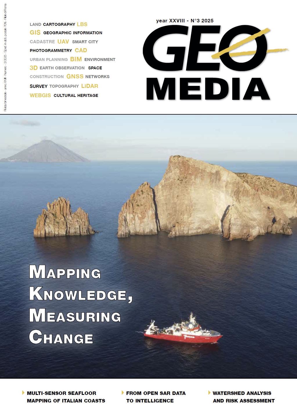
Watershed Analysis and Risk Assessment Using Global Mapper
Parole chiave:
GIS, global mapper, watershed analysis, environmental risk, infrastructure, land use, COASTAbstract
Watershed analysis provides critical insights into the natural flow of water across landscapes, helping to
identify environmental risks and inform land-use and infrastructure planning. This paper explores how
Global Mapper®, a geographic information system (GIS) tool, can be used to delineate watersheds, analyze
topographic boundaries, and assess environmental threats such as landfill contamination. Through a
case study of the Tennessee Region watershed, the paper demonstrates how spatial operations, watershed
generation tools, and terrain analysis can support data-driven watershed management and risk mitigation.
The paper also presents COAST, an extension of Global Mapper developed for coastal adaptation
planning, as an advanced implementation that enhances watershed and coastal flood risk analysis through
economic impact modeling.
Riferimenti bibliografici
“Principles of Watershed Management.” Watershed Academy Web Environmental Protection Agency,
cfpub.epa.gov/watertrain/moduleFrame.cfm?parent_object_id=490. Wilson, Reid. “Map: The United
States of Watersheds.” The Washington Post, WP Company, 23 Apr. 2013, washingtonpost.com/blogs/
govbeat/wp/2013/11/19/map-the-united-states-of-watersheds/.
Dowloads
Pubblicato
Fascicolo
Sezione
Licenza

Questo volume è pubblicato con la licenza Creative Commons Attribuzione - Non commerciale - Condividi allo stesso modo 4.0 Internazionale.
Gli autori che pubblicano su questa rivista accettano le seguenti condizioni:- Gli autori mantengono i diritti sulla loro opera e cedono alla rivista il diritto di prima pubblicazione dell'opera, contemporaneamente licenziata sotto una Licenza Creative Commons - Attribuzione che permette ad altri di condividere l'opera indicando la paternità intellettuale e la prima pubblicazione su questa rivista.
- Gli autori possono aderire ad altri accordi di licenza non esclusiva per la distribuzione della versione dell'opera pubblicata (es. depositarla in un archivio istituzionale o pubblicarla in una monografia), a patto di indicare che la prima pubblicazione è avvenuta su questa rivista.
- Gli autori possono diffondere la loro opera online (es. in repository istituzionali o nel loro sito web) prima e durante il processo di submission, poiché può portare a scambi produttivi e aumentare le citazioni dell'opera pubblicata (Vedi The Effect of Open Access).


